Weekly Weather and Crop Update Records Broken
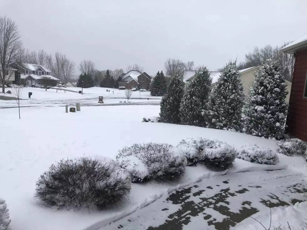
Later on last week soil temperatures were above normal and field work was really rolling along. There were many anhydrous ammonia rigs in the field and a lot of small grains and peas were planted. We were all aware of the forecast for the snowstorm Sunday and really cold temperatures for early this week so very little corn was planted. It was so nice on Saturday I just kept hoping the forecast was wrong but it wasn't!
It was the third year in a row there was a big snowstorm in the middle of April with cold temperatures following the snow. Soil temperatures at the Southern Research and Outreach Center at Waseca dropped from a little over 50 degrees to 37 degrees Tuesday morning. I also believe we set an all time record low temperature Wednesday morning in Faribault of 16 degrees.
The following statement in the Weekly Weather and Crop Update was from the State Climatology Office, a division of the Minnesota DNR. I found it interesting and as a farmer not the kind of records you wish to see broken. Trying to see the positive side, at least it is mid-April and not May!
"The snow marked the third straight year with a mid-April winter storm in southern Minnesota. By nearly any metric, the events in 2018 and 2019 were more significant than this one, but those storms were exceptional. The storm, while not historic, was a bit unusual for this time of year and this part of the state. Historically, a typical southern Minnesota location only sees a daily snowfall accumulation of at least four inches between the 10th and 20th of April about 5 to 10 percent of the time. This is the only time on record (back to the 1870s) that the Twin Cities area has observed such an event three years in a row."
We set some other records too. The low temperature on the morning of April 14th was 14 degrees, an all time low. The high was 28 degrees with was the coldest high temperature ever recorded for that date. It was a pretty nice winter so I guess this was payback?


