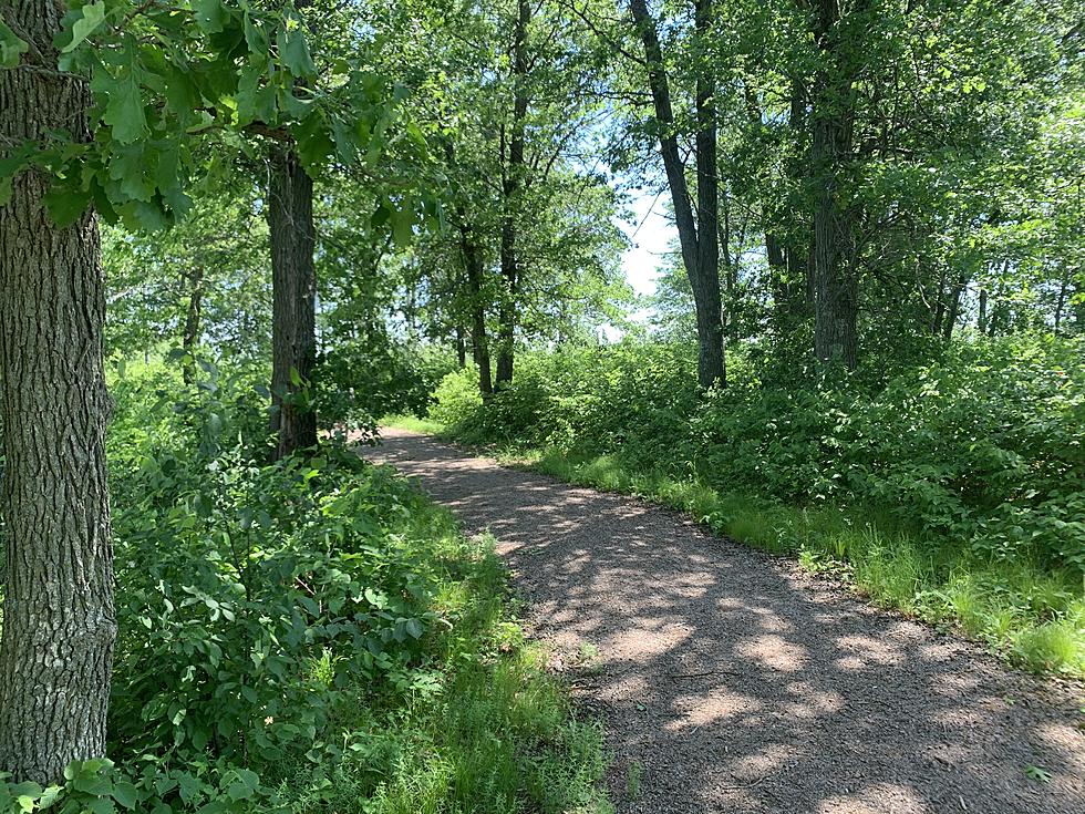
New State Forest Maps Help Minnesota Families Enjoy the Outdoors
Getting the family outside accomplishes a few things. You get some of that good-for-you exercise, it makes practicing the whole social-distancing easy because very few people are around, and you get to enjoy our nature and the outdoors in our beautiful state of Minnesota.
The Minnesota DNR has released improved maps for your mobile device that features for all 59 Minnesota state forests. It runs through an app called Avena Map. It will not only help you not to get lost, but it comes with some handy features.
The maps provide more detail than previous versions and highlight the endless recreation opportunities in state forests, such as hiking, mountain biking, birding, berry picking, cross-country skiing, hunting, and horseback, ATV and snowmobile riding. Many state forests also offer campgrounds, fishing piers, boat launches, swimming beaches, and picnic areas. - Minnesota DNR via dnr.state.mn.us.com
This is not a one-time thing. The DNR will be continuously updating the maps for the next five years. One way to get the improved maps is by downloading the Avenva Map app to your mobile device. OutdoorsWeekly.com has more info for you.
“Whether you prefer a wilderness canoe paddle or an ATV ride, there’s a summer state forest experience for everyone – and our new state forest maps will make the experience even better,” - Laura Duffey (State forest map coordinator)
So to find out all that the DNR and the Minnesota wilderness has to offer, you can find out more about their map improvements or anything else related to the DNR, by visiting their website here.
[OutdoorsWeekly.com] [Minnesota DNR]

Seven Reasons Mosquitoes Might Like You More Than Most
More From KDHL Radio