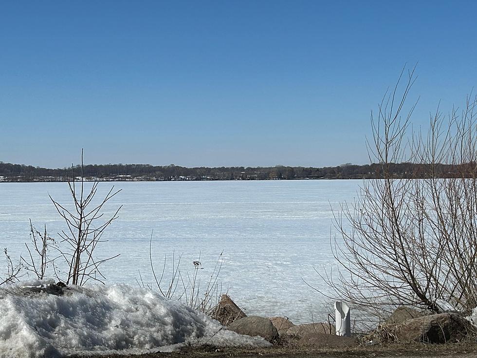
Ice-Out Will Not Be Early Could Be Late For Area Lakes
A check of ice-out dates on the Minnesota Department of Natural Resources website shows the latest it's occurred in the Faribault area is the end of April in 2018.
In 2022 these are the dates ice-out was determined to occur.
- Cannon Lake, Wells Lake, April 4
- Cedar, Hunt, Horseshoe,Tetonka, April 6
- French, Kelly, Phelps, Cody Lake, April 7
- Roberds Lake, Frances Lake, April 8
- Shields Lake, Dudley Lake, April 10
- Mazaska Lake, April 11
The DNR has a listing of the earliest, latest and median ice-out dates. Here are some that are listed in the area.
- Circle Lake, earliest March 13, 2016. Latest April 28, 2013. Median April 1
- Wells Lake, earliest March 11, 2016. Latest April April 27, 2018. Median April 1
- Cannon Lake, earliest March 14, 2016. Latest April 29, 2018. Median March 31
- Cedar Lake, earliest March 13, 2016. Latest April 30, 1983. Median April 4
- French Lake, earliest March 15, 2016. Latest April 30, 2018. Median April 4
- Shields Lake, earliest March 7, 1931. Latest April 30, 2018. Median April 6
- Lake Mazaska, earliest March 15, 2016. Latest April 30, 2018. Median April 11
- Roberds Lake, earliest March 8, 2000. Latest April 30, 2018. Median April 3
- Lake Zumbro, earliest February 22, 2017. Latest April 25, 2018. Median March 30
Here is a listing of other latest ice-outs for lakes in southern Minnesota.
- Fountain Lake, Albert Lea, April 30, 1953
- Cody Lake, April 28, 2018
- Upper Sakatah, April 21, 2013
Faribault Fire Chief Dustin Dienst is also the city Emergency Management Director and tells KDHL he has been checking the gauges along the Cannon and Straight Rivers near Faribault.
He will be on AM Minnesota today to discuss the flooding potential locally.
The State Department of Commerce is recommending Minnesotans review their homeowners' or renters' insurance coverage with spring flooding expected in many areas of the state.
I did check some gauges Tuesday night, March 28, 2023 with some of the results listed here.
- Cannon River at Northfield was at 893.96 feet at 9:30 p.m. with flood stage 897 feet. Action needs to be taken when the river reaches 895 feet.
- Cannon River at Highway 29 north of Faribault 15.42 feet as of 9:15 p.m. Flood stage is 16.58 feet.
- Straight River near Faribault was 6.76 feet as of 9:15 p.m. Flood stage is 8.06 and record was 14 feet 9 inches.
- Straight River near Owatonna 1122.49 as of 10:00 p.m. Flood stage is 1125.56.
- North Fork of Zumbro River near Wanamingo 11.56 feet 10:00 p.m. March 28, Flood stage is 18 feet.
- Middle Fork of Zumbro River near Pine Island 11.94 feet 9:00 p.m. Flood stage is 17 feet.
- Zumbro River at Zumbro Falls 9.33 feet at 9:30 p.m. March 28, 2023. Flood stage is 18 feet.
- Zumbro River at Zumbro Lake 915.8 as of 9:30 p.m. March 28th. It was at 916.1 feet on March 26th. Flood stage is 918 feet.
According to a snow melting calculator when the temperature averages 40 degrees Fahrenheit we can lose 1/2 inch of snow a day.
When the temperature averages 50 degrees Fahrenheit it says 2 to 4 inches a day.
When the temperature averages 50 degrees Fahrenheit it says 2 to 4 inches a day.
There are a number of variables in this but those are estimates.
A Gallery Of High Planes Wyoming Winter Bison
Gallery Credit: Glenn Woods
More From KDHL Radio