Southern Minnesota Winter Storm Warning Update for Monday
Update: Storm still coming. Storm track remains same as yesterday for the most part.
A portion of the Winter Storm Warning has been upgraded to a Blizzard Warning from Mankato to the south and west, including Fairmont and St. James. The Winter Storm Warning was expanded, slightly southeast. A Winter Storm Watch remains in effect from
Gaylord through the Twin Cities metro.
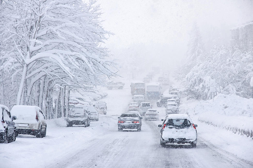
A strong storm system will bring an area of heavy snow across south central and east central Minnesota into western Wisconsin by early Monday morning. Snowfall totals of 8 to 14 inches are likely by Monday evening in the warning area. Strong winds with
gusts up to 40 MPH during the heavy snow period will lead to blizzard conditions in a portion of south central MN. Farther east, winds will be in the 20 to 30 MPH range and cause blowing and drifting snow.
Forecasted snowfalls for Monday 1/22, according to the National Weather Service (as of 11:50am on 1/21):
Faribault - 8 to 12 inches
Owatonna - 6 to 8 inches
Rochester - 6 to 12 inches
Preston - 6 to 12 inches
A wintry mix with a period of freezing rain is also possible Monday morning from Albert Lea toward Eau Claire, resulting in light ice accumulation.
Be prepared for difficult driving conditions if you have travel plans across central or southern Minnesota and western and northern Wisconsin.
Keep checking back for further updates.
Red=Blizzard Warning
Pink=Winter Storm Warning
Blue=Winter Storm Watch
More From KDHL Radio