Got Snow? More Coming
Here is a look at some snow totals from the National Weather Service.
Fridley: 20.0"
Maple Plain: 18.5"
NE Minneapolis: 19.8"
Edina: 17.8"
Lino Lakes: 17.0"
Maplewood: 16.0"
Apple Valley: 17.0"
White Bear Lake: 16.5"
Bloomington: 16.5"
Chanhassen: 16.1"
Blaine: 16.0"
MSP Airport: 15.7"
Woodbury: 15.5"
Eagan: 15.5"
Farmington 15"
Lakeville 14.8"
Albert Lea 8"
Plainview 7.5"
Kasson 4.8"
Hayfield 2"
A low pressure system coming out of the Central Plains Tuesday
will shift across Iowa Wednesday and into the Great Lakes
Wednesday night. A mixture of freezing rain, sleet and snow can
be expected out of this system, although mainly snow is likely.
Much of far southern Minnesota can expect accumulating snow out
of this system, with the heaviest snow along and south of a line
from Saint James to Owatonna where between 5 and 8 inches of snow
can be expected.
A Winter Storm Watch has been issued for late Tuesday night
through Wednesday evening for far southern Minnesota, including
areas along and south of a line from Saint James to Owatonna.
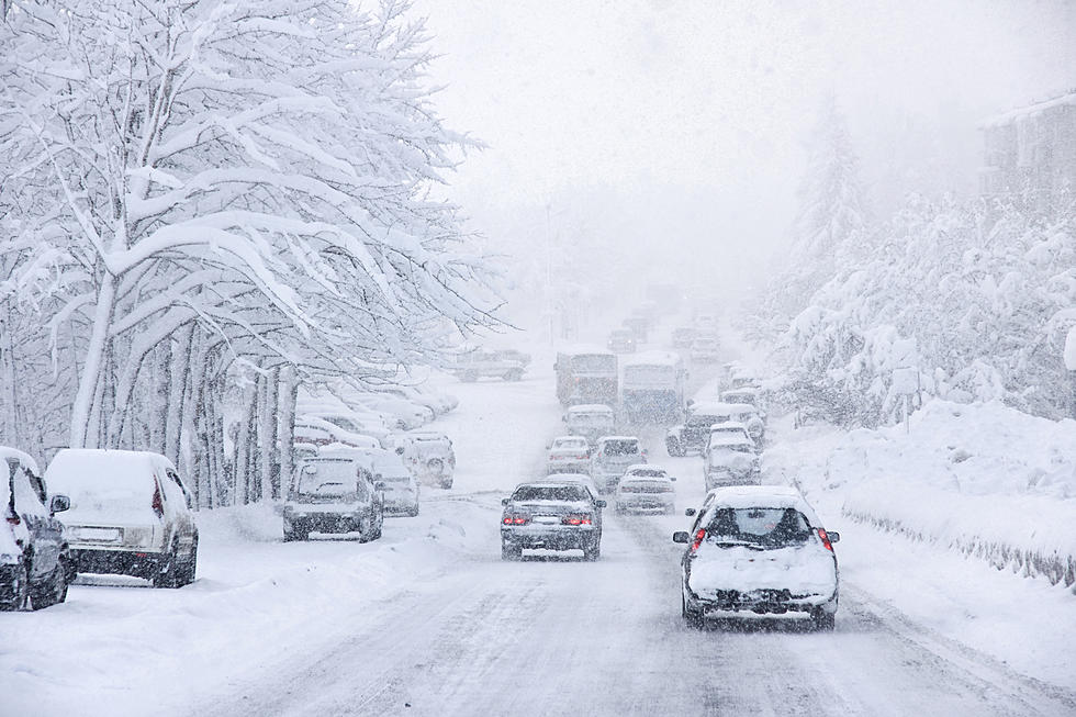
Here's what my front yard and down my street looked like when I was coming into work Monday
More From KDHL Radio